
Geography GeniusesCredits
Picture, video and data credits
Every picture, video and dataset in this course:who made it, where it comes from and the licence that lets us show it.Thank you to everyone who shares their work freely.
The course home
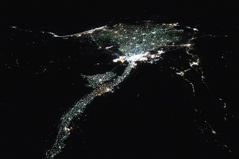 | The Nile and its delta at night, seen from the International Space Station: a thin line of lights through the dark desert.Photo: NASA, public domain (US government work, NASA), via Wikimedia Commons. |
Part 1: Maps, power and perspective
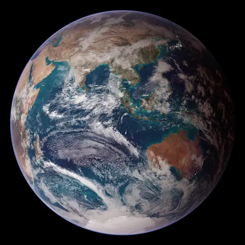 | The Eastern Hemisphere in NASA's Blue Marble, a picture of the Earth put together from many satellite images.Image: NASA images by Reto Stöckli, based on data from NASA and NOAA, public domain (US government work, NASA), via Wikimedia Commons. |
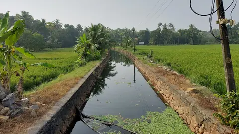 | A canal between paddy fields at Thanneermukkom, in Kerala's Alappuzha district.Photo: Vis M, CC BY-SA 4.0, via Wikimedia Commons. Cropped by One Young India. The crop is shared under the same licence. |
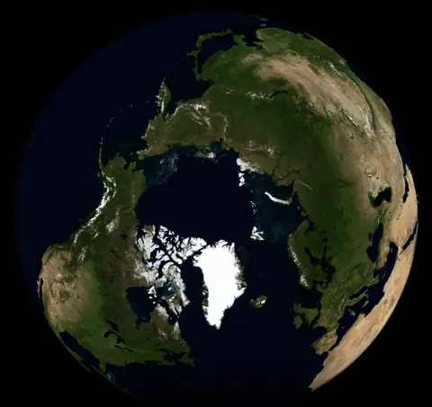 | Greenland, the white island just below the pole, as the globe shows it from above the North Pole, in a picture made from NASA satellite images.Image: NASA, public domain (US government work, NASA), via Wikimedia Commons. |
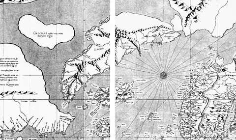 | Mercator's world map of 1569, around Greenland, which it draws far bigger than it is.Map: Gerardus Mercator, public domain (author died more than 70 years ago), via Wikimedia Commons. Cropped by One Young India. |
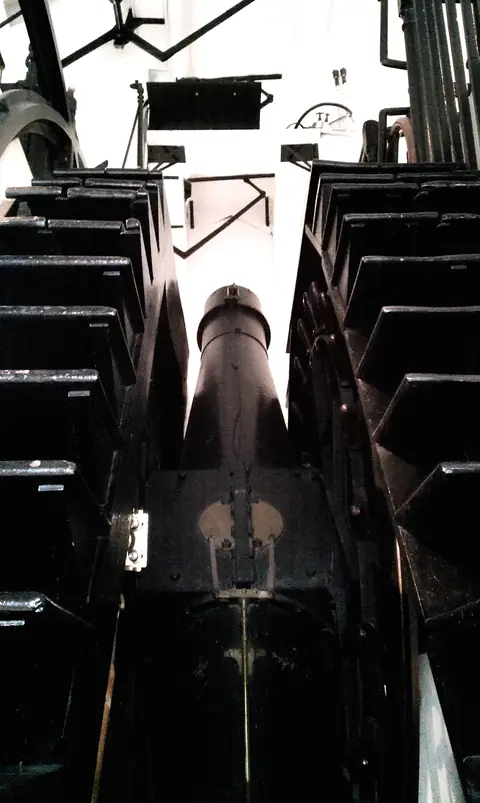 | The Airy transit circle at the Royal Observatory, Greenwich, first used in 1851.Photo: "Airys Transit Circle" by Andres Rueda, CC BY 2.0, via Wikimedia Commons. |
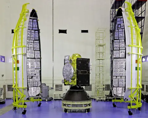 | A second-generation satellite for India's own navigation system, NavIC, before it was sealed inside its rocket.Photo: Indian Space Research Organisation, GODL-India, via Wikimedia Commons. |
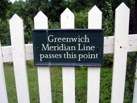 | A sign at Sheffield Park, in England, marks where the Greenwich meridian passes: the line of zero longitude runs far beyond Greenwich itself.Photo: "Sheffield Park, Greenwich Meridian Line" by Helmut Zozmann, CC BY-SA 2.0, via Wikimedia Commons. |
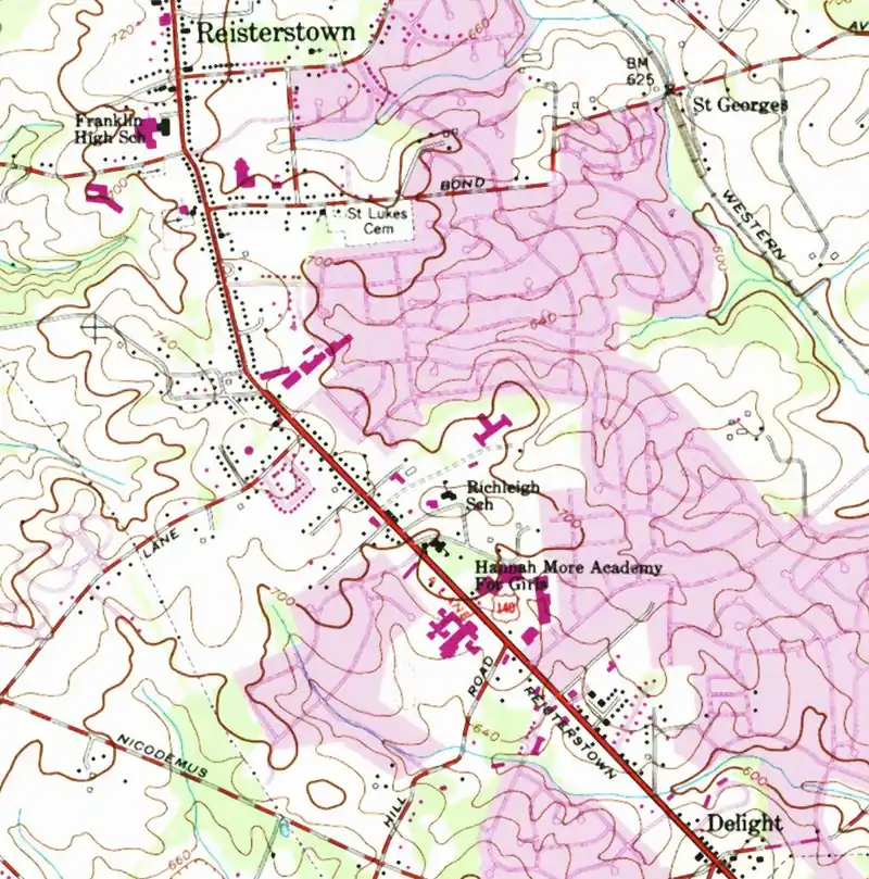 | Large scale: a 1953 US Geological Survey map of Reisterstown, Maryland, at 1 to 24,000.Map: USGS, public domain (US government work, USGS), via Wikimedia Commons. Cropped by One Young India. |
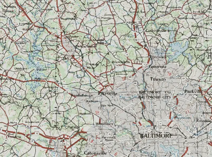 | Small scale: a 1989 survey map of the country around it, at 1 to 250,000.Map: United States government, public domain (US government work), via Wikimedia Commons. Cropped by One Young India. |
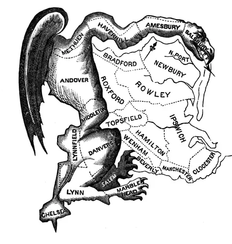 | The cartoon of 1812 that gave the word its start: the oddly shaped Massachusetts senate district, drawn as a winged monster.Cartoon: Elkanah Tisdale, public domain (author died more than 70 years ago), via Wikimedia Commons. |
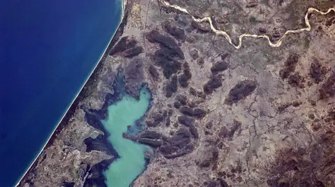 | Chilika lagoon on the coast of Odisha, seen from the International Space Station.Photo: NASA, public domain (US government work, NASA), via Wikimedia Commons. Cropped by One Young India. |
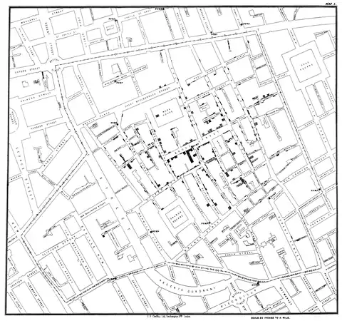 | John Snow's map of the deaths around Broad Street.Map: John Snow, public domain (author died more than 70 years ago), via Wikimedia Commons. |
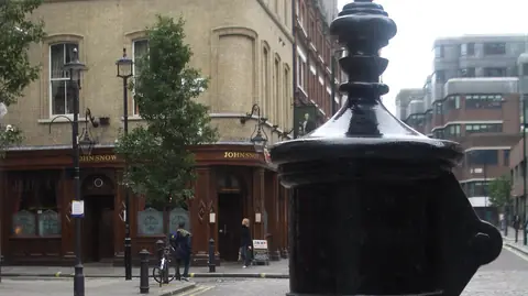 | A memorial pump in Broadwick Street, London, the street that was called Broad Street when John Snow traced the deaths there.Photo: "John Snow memorial and pub" by Justinc, CC BY-SA 2.0, via Wikimedia Commons. Cropped by One Young India. The crop is shared under the same licence. |
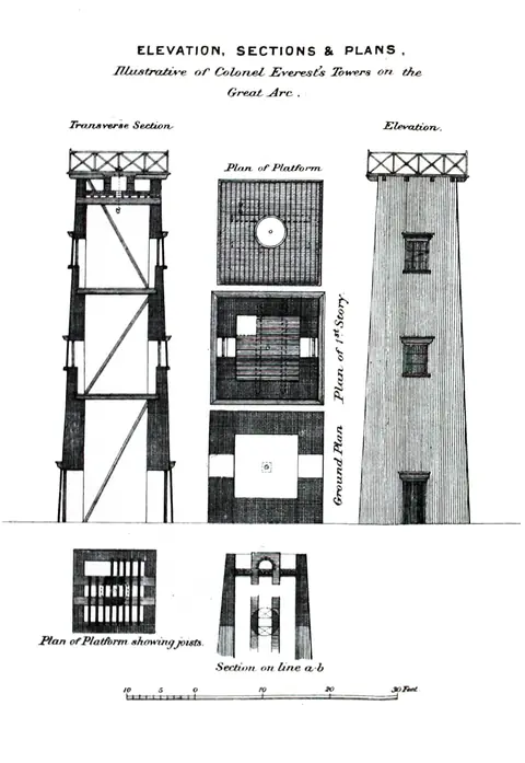 | Plans of the towers built for Colonel Everest's survey along the Great Arc.Drawing: C. Strahan, public domain (author died more than 70 years ago), via Wikimedia Commons. |
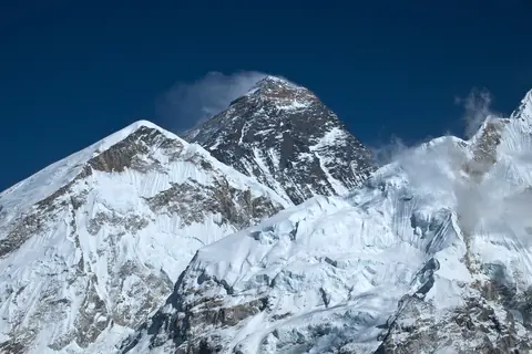 | Mount Everest, the peak the Survey numbered Peak XV and in 1856 announced as the highest in the world.Photo: © Vyacheslav Argenberg, CC BY 4.0, via Wikimedia Commons. |
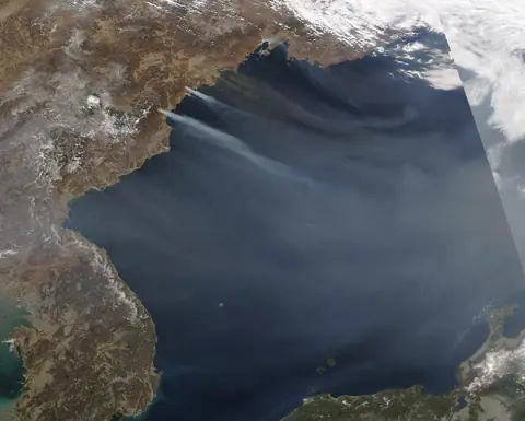 | The sea between the Korean Peninsula and Japan, seen by a NASA satellite in 2024.Image: MODIS Land Rapid Response Team, NASA GSFC, public domain (US government work, NASA), via Wikimedia Commons. |
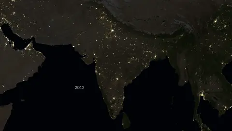 | India and its neighbours at night in 2012 and in 2023, from NASA satellite records.Image: NASA's Scientific Visualization Studio, public domain (US government work, NASA), via Wikimedia Commons. |
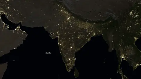 | India and its neighbours at night in 2012 and in 2023, from NASA satellite records.Image: NASA's Scientific Visualization Studio, public domain (US government work, NASA), via Wikimedia Commons. |
| Video | NASA's Black Marble: Stories from the Night SkyFrom the channel NASA Goddard. Watch the full video. |
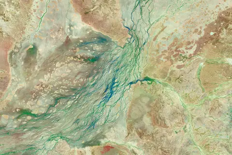 | Cooper Creek in Queensland, Australia, seen by Landsat satellites on 5 and 29 March 2025, before and after heavy rain.Image: NASA Earth Observatory (Michala Garrison), using Landsat data from the U.S. Geological Survey, public domain (US government work, NASA), via Wikimedia Commons. |
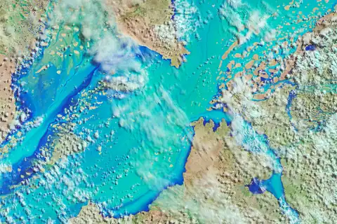 | Cooper Creek in Queensland, Australia, seen by Landsat satellites on 5 and 29 March 2025, before and after heavy rain.Image: NASA Earth Observatory (Michala Garrison), using Landsat data from the U.S. Geological Survey, public domain (US government work, NASA), via Wikimedia Commons. |
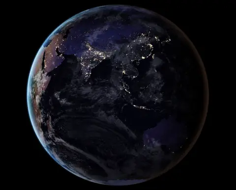 | Asia at night, from NASA satellite records of 2016.Image: NASA Earth Observatory, public domain (US government work, NASA), via Wikimedia Commons. |
Part 2: Borders, rivers and resources
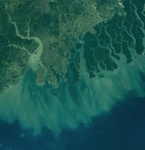 | Where the Ganga and the Brahmaputra reach the sea: the Hooghly, Sagar Island and the Sundarbans, seen by the Landsat 8 satellite in February 2017.Image: "Hooghly- Brahmaputra Delta, Bay of Bengal (India - Bangladesh)" by O.V.E.R.V.I.E.W., CC BY 2.0, via Wikimedia Commons. |
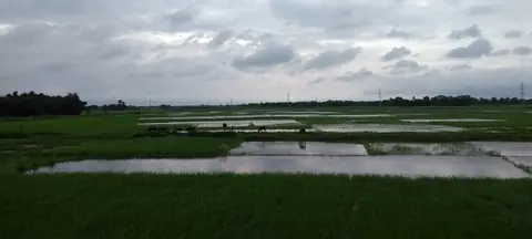 | Paddy fields near Saharsa, Bihar, on the wide flat plain.Photo: Varunesh Chandra, CC BY-SA 4.0, via Wikimedia Commons. Cropped by One Young India. The crop is shared under the same licence. |
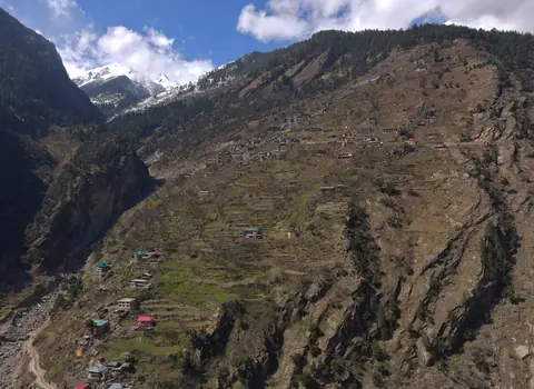 | Brua village in Kinnaur, Himachal Pradesh, its orchards cut into terraces on a steep slope.Photo: UnpetitproleX, CC BY-SA 4.0, via Wikimedia Commons. |
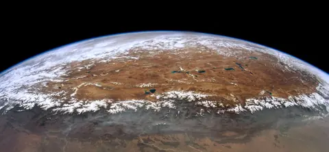 | The Himalaya rising from the plain, photographed from the International Space Station by the astronaut Don Pettit, with the Tibetan Plateau beyond.Photo: Donald Pettit, public domain (US government work, NASA), via Wikimedia Commons. |
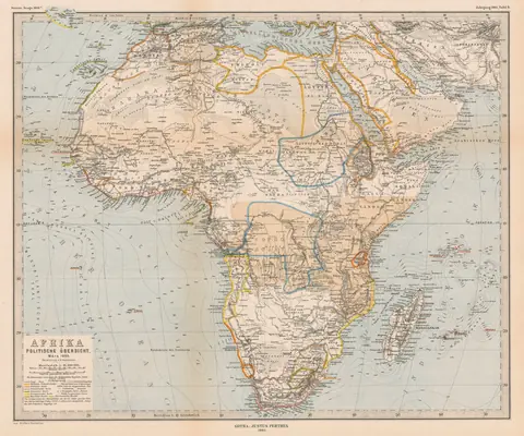 | A map of Africa printed by Justus Perthes in Gotha in 1885, coloured to show the claims of European empires that year.Map: Justus Perthes, public domain (author died more than 70 years ago), via Wikimedia Commons. |
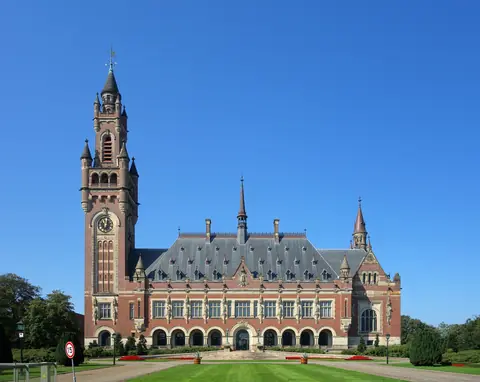 | The Peace Palace in The Hague, where the International Court of Justice sits and gave its 2002 ruling on the Bakassi peninsula.Photo: Velvet, CC BY-SA 4.0, via Wikimedia Commons. |
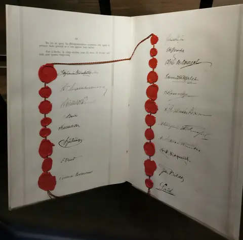 | Seals and signatures on the Belgian copy of the General Act of the Berlin Conference, 1885, on show in the House of European History in Brussels.Photo: Karmakolle, CC BY-SA 4.0, via Wikimedia Commons. |
| Video | The Most Complex Borders in Europe: Why Do We Have Nations?From the channel Tom Scott. Watch the full video. |
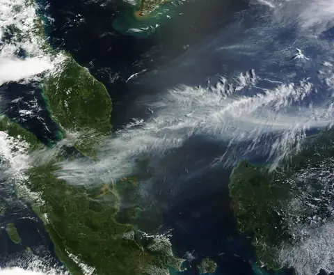 | Smoke from fires on Sumatra drifting east across the Strait of Malacca towards Malaysia and Singapore, seen by a NASA satellite on 19 June 2013.Image: NASA Earth Observatory image by Jeff Schmaltz, LANCE/EOSDIS Rapid Response, public domain (US government work, NASA), via Wikimedia Commons. |
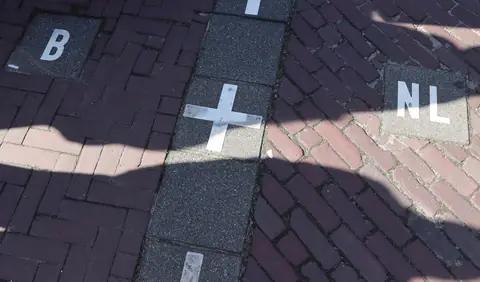 | Baarle: white crosses in the pavement mark the line, with B for Belgium on one side and NL for the Netherlands on the other.Photo: FrDr, CC BY-SA 4.0, via Wikimedia Commons. Cropped by One Young India. The crop is shared under the same licence. |
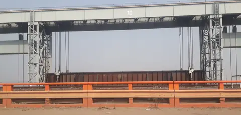 | One of the gates of the Farakka Barrage across the Ganga in West Bengal, where the treaty shares the river's water in the dry months.Photo: Pinakpani, CC BY-SA 4.0, via Wikimedia Commons. Cropped by One Young India. The crop is shared under the same licence. |
| Video | How Wells & Aquifers Actually WorkFrom the channel Practical Engineering. Watch the full video. |
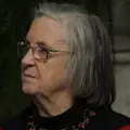 | Elinor Ostrom, who in 2009 became the first woman to win the Nobel Memorial Prize in Economic Sciences.Photo: "Nobel Laureate Elinor Ostrom (Economics)" by US Embassy Sweden, CC BY 2.0, via Wikimedia Commons. Cropped by One Young India. |
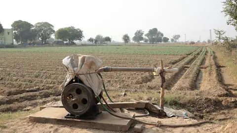 | A pump set drawing groundwater from a borewell to water the fields near Vrindavan, in Uttar Pradesh.Photo: Gannu03, CC BY-SA 4.0, via Wikimedia Commons. |
| Data | Price of Brent crude oil, yearly averageData: US Energy Information Administration, Europe Brent spot price FOB (series RBRTE), annual, Public domain (US government work, Energy Information Administration). Drawn by One Young India. |
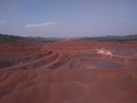 | An open iron ore mine in Keonjhar district, Odisha: terraced pits cut deep into the red earth.Photo: Bikashkumargiri1997, CC BY-SA 4.0, via Wikimedia Commons. |
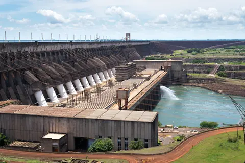 | The Itaipu dam on the Parana river, built together by Brazil and Paraguay, which share the river and the electricity it makes.Photo: "Usina Hidroelétrica Itaipu Binacional / Itaipu Dam" by Deni Williams from São Paulo, Brasil, CC BY 2.0, via Wikimedia Commons. |
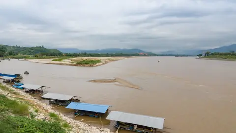 | The Mekong at the Golden Triangle, where Thailand, Laos and Myanmar meet, seen from the Thai bank.Photo: "Sop-Ruak Thailand Golden-Triangle-02" by CEphoto, Uwe Aranas, CC BY-SA 3.0, via Wikimedia Commons. |
Part 3: Cities, climate and people on the move
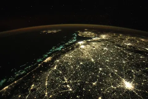 | India's west coast at night from the International Space Station, December 2025.Photo: NASA Johnson Space Center, public domain (US government work, NASA), via Wikimedia Commons. |
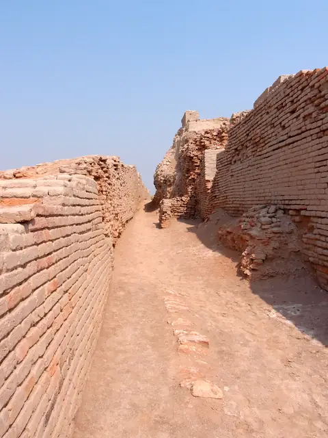 | A street between walls of baked brick at Mohenjo-daro, one of the planned cities of the Indus valley.Photo: "Street - Mohenjodaro" by Saqib Qayyum, CC BY-SA 3.0, via Wikimedia Commons. |
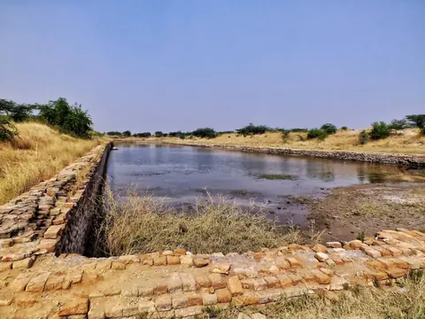 | The brick basin at Lothal, Gujarat, which the Archaeological Survey of India identifies as a tidal dockyard.Photo: Jashjashjash, CC BY-SA 4.0, via Wikimedia Commons. |
| Data | Share of the world's people living in rural and in urban areasData: UN DESA, World Urbanization Prospects 2018, via Our World in Data, CC BY 4.0. Drawn by One Young India. |
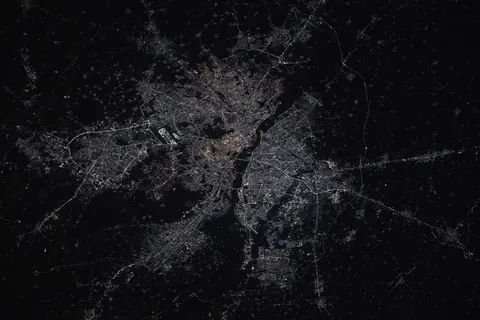 | Delhi at night from the International Space Station in 2025, its lights spreading out in every direction.Photo: NASA Johnson Space Center / Don Pettit, public domain (US government work, NASA), via Wikimedia Commons. |
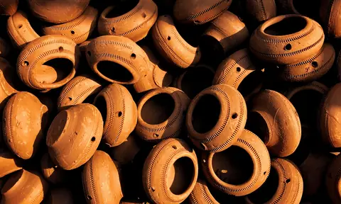 | Clay pots stacked in Kumbharwada, the potters' quarter of Dharavi in Mumbai, where small workshops make goods sold across the country.Photo: SriChinnu, CC BY-SA 4.0, via Wikimedia Commons. Cropped by One Young India. The crop is shared under the same licence. |
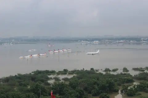 | Chennai's airport under water in the floods of December 2015, seen from the air.Photo: Indian Air Force, GODL-India, via Wikimedia Commons. |
| Video | Just How Much Hotter are Treeless Streets?From the channel PBS Terra. Watch the full video. |
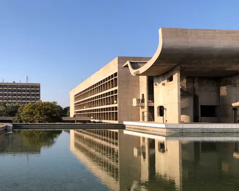 | The Palace of Assembly in Chandigarh's Capitol Complex, designed by Le Corbusier for the city planned on open land after independence.Photo: UnpetitproleX, CC BY-SA 4.0, via Wikimedia Commons. |
| Data | Global mean sea level measured from satellites, yearly averageData: NASA Goddard Space Flight Center, global mean sea level from TOPEX/Poseidon, Jason and Sentinel-6 altimeters, version 5.2 (PO.DAAC), Public domain (US government work, NASA). Drawn by One Young India. |
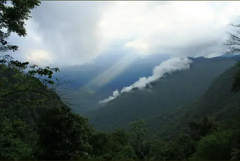 | Monsoon clouds over the Western Ghats in Kerala, where the monsoon first reaches India's mainland.Photo: "Spotlight on a landscape" by Nagesh Jayaraman from Chennai, India, CC BY 2.0, via Wikimedia Commons. Cropped by One Young India. |
| Data | Money sent home to India by people working abroad, each yearData: World Bank, World Development Indicators, personal remittances received (current US$), India, CC BY 4.0. Drawn by One Young India. |
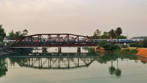 | An express train crossing an iron bridge in India.Photo: Jaswantop, CC BY-SA 4.0, via Wikimedia Commons. |
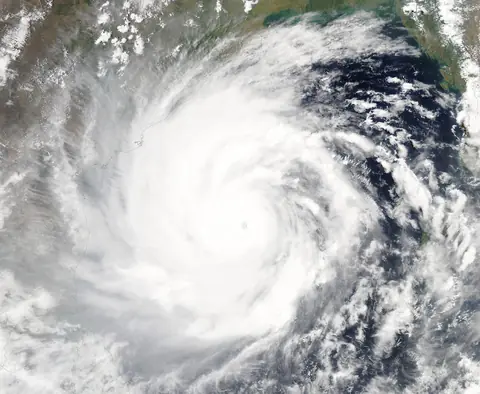 | Cyclone Amphan over the Bay of Bengal in May 2020, seen by a NASA satellite as it headed for the coasts of India and Bangladesh.Image: MODIS Land Rapid Response Team, NASA GSFC, public domain (US government work, NASA), via Wikimedia Commons. |
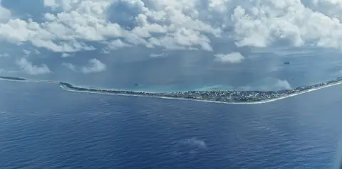 | Funafuti atoll in Tuvalu, from an aeroplane: a thin strip of land between the lagoon and the open ocean.Photo: Rosodo, CC BY-SA 4.0, via Wikimedia Commons. Cropped by One Young India. The crop is shared under the same licence. |
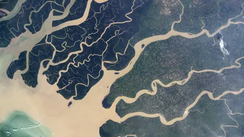 | Mangrove islands and river channels of the Sundarbans, where the delta meets the Bay of Bengal, from the International Space Station.Photo: NASA, public domain (US government work, NASA), via Wikimedia Commons. Cropped by One Young India. |
Part 4: Trade routes, chokepoints and your question
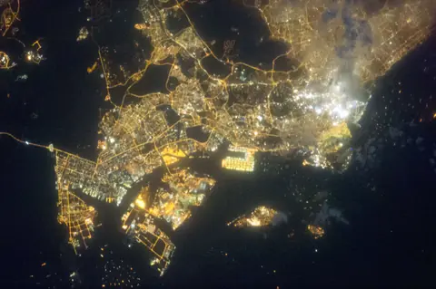 | Singapore, beside the Strait of Malacca, at night from the International Space Station.Photo: NASA Johnson Space Center, public domain (US government work, NASA), via Wikimedia Commons. |
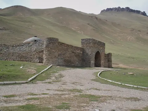 | Tash Rabat, a stone caravanserai in the mountains of Kyrgyzstan, where travellers on the old routes across Asia could stop.Photo: "Caravanserai- Tash Rabat" by Raki_Man, CC BY 3.0, via Wikimedia Commons. |
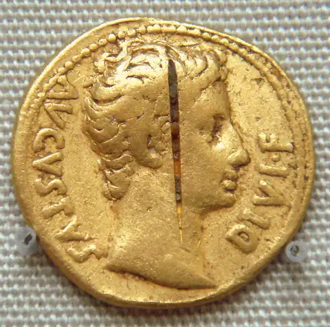 | A gold coin of the Roman emperor Augustus, from a hoard found at Pudukottai in Tamil Nadu, now in the British Museum.Photo: "Augustus Coin Pudukottai Hoard India" by PHGCOM, CC BY-SA 3.0, via Wikimedia Commons. |
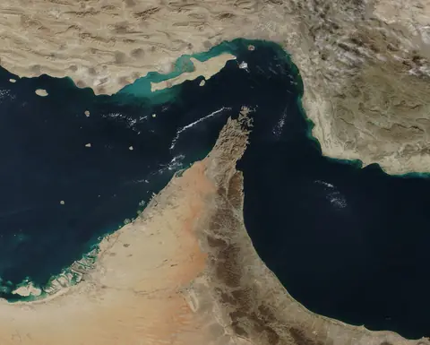 | The Strait of Hormuz, where the Gulf opens to the Gulf of Oman.Image: MODIS Land Rapid Response Team, NASA GSFC, public domain (US government work, NASA), via Wikimedia Commons. |
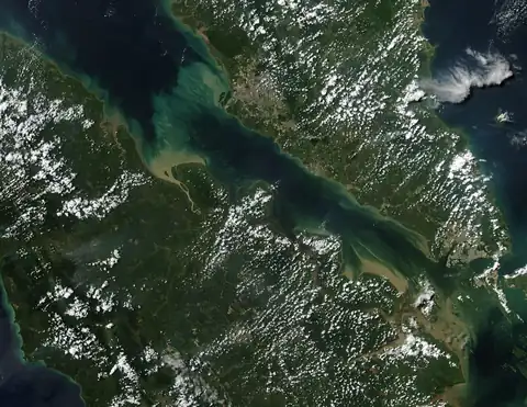 | The Strait of Malacca, between the Malay Peninsula and Sumatra.Image: MODIS Land Rapid Response Team, NASA GSFC, public domain (US government work, NASA), via Wikimedia Commons. |
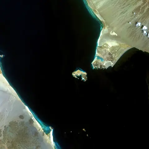 | Bab-el-Mandeb, at the southern end of the Red Sea.Image: "Bab-el-Mandeb Strait, Red Sea" by Coordenação-Geral de Observação da Terra/INPE, CC BY-SA 2.0, via Wikimedia Commons. |
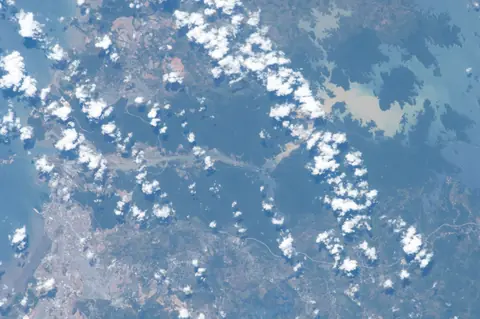 | Panama, where the canal crosses the narrow land between two oceans.Photo: Earth Science and Remote Sensing Unit, Lyndon B. Johnson Space Center, public domain (US government work, NASA), via Wikimedia Commons. |
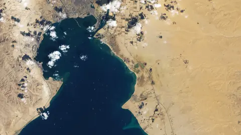 | Ships waiting in the Gulf of Suez, at the canal's southern end, while it was blocked in March 2021, seen by the Landsat 8 satellite.Image: NASA Earth Observatory (Lauren Dauphin and Joshua Stevens), using Landsat data from the U.S. Geological Survey, public domain (US government work, NASA), via Wikimedia Commons. Cropped by One Young India. |
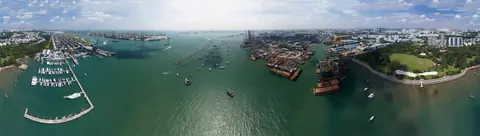 | The Singapore Strait and the container cranes of Pasir Panjang, from the air in 2016.Photo: Bob Tan, CC BY-SA 4.0, via Wikimedia Commons. |
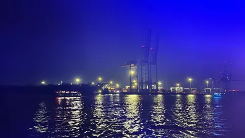 | Container cranes at the Vallarpadam terminal in Kochi, at night.Photo: Ranjithsiji, CC BY-SA 4.0, via Wikimedia Commons. |
| Data | Share of India's electricity made from the sun and the windData: Ember, yearly electricity data, India, generation from wind and solar, CC BY 4.0. Drawn by One Young India. |
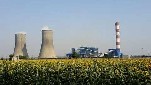 | A coal power station near Rajpura, Punjab, beyond a field of sunflowers.Photo: Npl-User1234, CC BY-SA 4.0, via Wikimedia Commons. |
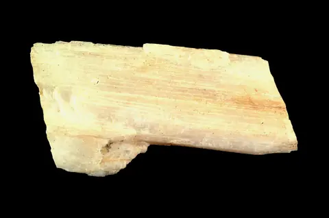 | Spodumene, a mineral mined for lithium.Photo: Shannon Heinle, CC0, via Wikimedia Commons. |
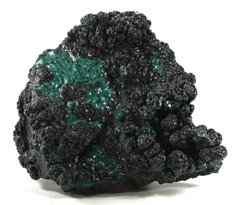 | Heterogenite, a cobalt ore, from a mine near Lubumbashi in the Democratic Republic of the Congo.Photo: "Heterogenite, Chrysocolla" by Rob Lavinsky, iRocks.com, CC BY-SA 3.0, via Wikimedia Commons. |
| Data | Cobalt mined in 2025, by countryData: US Geological Survey, Mineral Commodity Summaries 2026, cobalt, world mine production (2025 estimates), Public domain (US government work, US Geological Survey). Drawn by One Young India. |
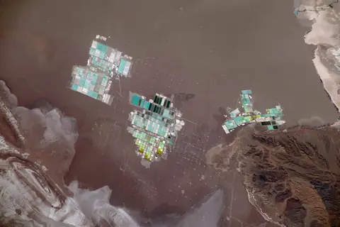 | Evaporation ponds on the Salar de Atacama in Chile, from the International Space Station.Photo: NASA, public domain (US government work, NASA), via Wikimedia Commons. |
| Data | Singapore's income per person, at 2015 pricesData: World Bank, World Development Indicators, GDP per capita (constant 2015 US$), Singapore, CC BY 4.0. Drawn by One Young India. |
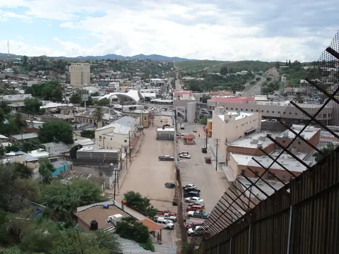 | The border fence through Nogales before 2011: Nogales, Sonora, in Mexico on its left, and Nogales, Arizona, in the United States on its right.Photo: "Ambos Nogales circa 2008" by Elnogalense, CC BY-SA 3.0, via Wikimedia Commons. |
| The Eastern Hemisphere in NASA's Blue Marble: the same Earth the course began with.Image: NASA images by Reto Stöckli, based on data from NASA and NOAA, public domain (US government work, NASA), via Wikimedia Commons. |
The free preview
| The Eastern Hemisphere in NASA's Blue Marble, a picture of the Earth put together from many satellite images.Image: NASA images by Reto Stöckli, based on data from NASA and NOAA, public domain (US government work, NASA), via Wikimedia Commons. |
| A canal between paddy fields at Thanneermukkom, in Kerala's Alappuzha district.Photo: Vis M, CC BY-SA 4.0, via Wikimedia Commons. Cropped by One Young India. The crop is shared under the same licence. |
| Greenland, the white island just below the pole, as the globe shows it from above the North Pole, in a picture made from NASA satellite images.Image: NASA, public domain (US government work, NASA), via Wikimedia Commons. |
| Mercator's world map of 1569, around Greenland, which it draws far bigger than it is.Map: Gerardus Mercator, public domain (author died more than 70 years ago), via Wikimedia Commons. Cropped by One Young India. |
Pictures are public domain or under a Creative Commons licence that allows reuse with credit; each one links to its licence and its source. Charts are drawn by One Young India from the data named under them. Videos play from their own channels.
Something wrong or missing?
Write to info@oneyoungindia.com.